
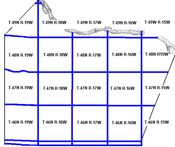
| I believe that you are truely going to like these maps. And you are going to love what happens when you "click" on them. These are sectionional maps of Cooper County with the sections outlined in blue. Now for the fun part. Find the section where you believe your ancestor lived and click on that section of the map. A map worth enjoying. Note: In order to make the sectional maps clear enough to be able to determine the landowner the majority of the time, I had to enhance the image quality. Which means that the image files are large (generally around 3MB), so they will take a long time to load. |
1877 Sectional Map
This map is taken from the "Illustrated Atlas Map on Cooper County, Missouri; Published 1877 by St. Louis Atlas Publishing Company; Reprinted 1972 by VKM Publishing Company, P. O. Box 11102, Fort Worth, Texas 76109". Enlarged sections of this map will display hills, streams, cemteries, churches, schools, and the names of the landowners! |
|
1897 Sectional Map
|
|
1915 Sectional Map
|
|
1929 Sectional Map
|
|